Long awaited trip was finally achieved; the season was not good this year... somehow, quantity of flowers blossomed was much much lesser. Nevertheless, we got a lot information about these wild beauties; thanks to the local guide that we took help of - Mr. Vilas Adale
We had planned to visit this place on a week-day. This was to avoid the "mad" rush that takes place during week-ends & holidays. Last time we had gone to Bamnoli which is about 10-15 kms ahead of Kaas. We had experienced this rush & traffic then.
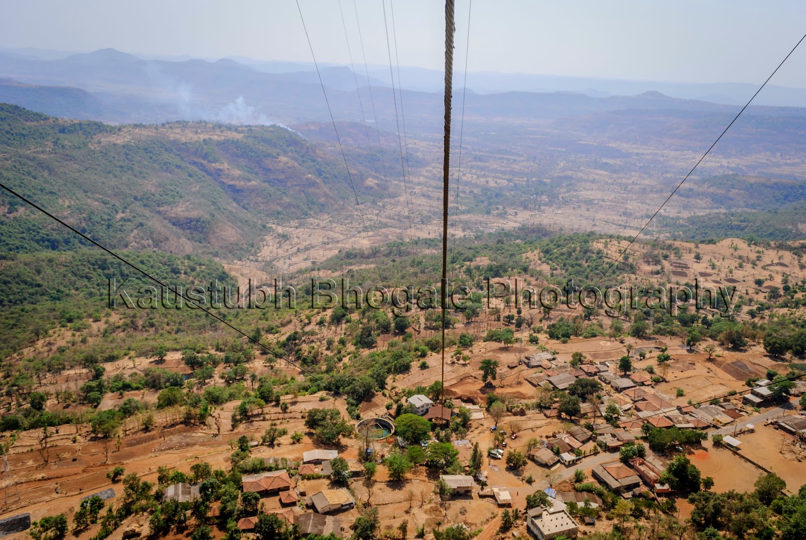
We started off from Pune at 6.15 am. Took Sinhagad Road & connected to the Mumbai-Bangalore outer ring road (NH-4). After a brief breakfast pit-stop at Hotel Aashirwad (just before Surur Phata - to Wai, Mahabaleshwar), we reached Kaas by 9.30 am. Normally, for a trip on week-ends & holidays, it is better to do the online booking here. For other days, it is not required. Charges are Rs. 10 per adult & Rs. 40 for car parking. No fee for children.
There were about 7-8 vehicle only. We were able to wander freely and peacefully. We met a local from a nearby village, who offered to took us around and show us the flowers with there names & specialty.
We normally take help of such guides and locals whenever we visit different places. This helps us not only to see, but also to understand (differences, uniqueness, history, etc) the places better. They also show us the places, locations which we would have missed had we gone all alone.
Because of Vilas, we came to know many things about the flowers in the region. There are about 350 odd varieties of plants in the region. Each flower has a specific time of blooming ranging from time, months and even years. If the season is at its peak, one can see a carpet of flowers spread in the area. It is said that if you visit after a gap of weeks during Sep-Oct, you can see the different colors of flowers laid across the region.
Most of these flowers blossom in September-October months. There is one flower which blooms once in 7-8 years. Some flowers bloom in the morning while others late in the day.
Other flowers which we saw (photos were not clicked) are Bhuichar, Neelam, Seetechi Aaswa, Raan-halad, Sonki
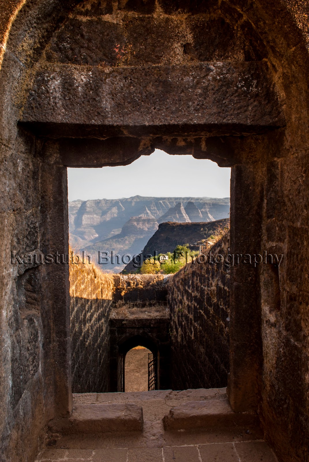
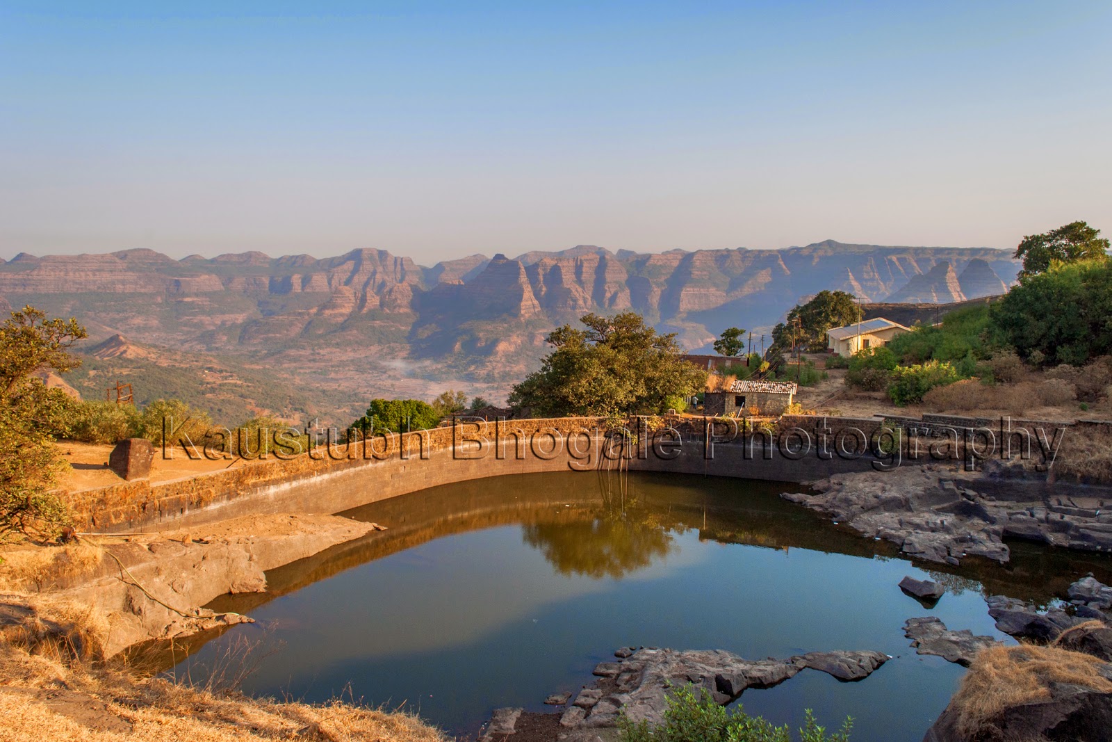
Following this heritage visit (the region is declared as a World Heritage Site, by the way), we moved ahead. 3 kms ahead is the Kaas Lake. It was constructed 100 years ago by the British as a water source for Satara City. While ascending a small ghat, the water body looks awesome.
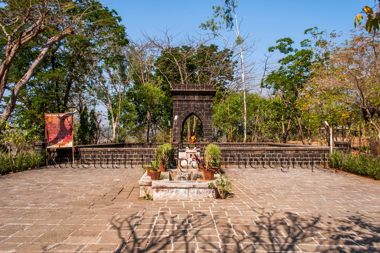
While coming to Kaas, just before check-post, there is a left exit (board is available) for Goddess Ghataai Temple (घाटाई देवी मंदिर) and a Devrai (देवराई). About 4 kms from here is a temple situated within dense trees. The temple is being renovated at present.
Devrai is the place around a temple where the villagers and locals do not cut the trees, its fruits and flowers. The trees and thus the forest grows for years (even centuries) completely untouched. It is said that the God lives here, hence these should not be cut (defaced). This was the way of our ancestors to maintain the ecological balance in the nature.
Odometer readings:
Narayan Peth (Pune): 0 kms
Kaas Plateau Check Post: 139 kms
Kaas Lake: 142 kms
Ghatai Devi Temple: 149 kms
Narayan Peth: 290 kms
We had planned to visit this place on a week-day. This was to avoid the "mad" rush that takes place during week-ends & holidays. Last time we had gone to Bamnoli which is about 10-15 kms ahead of Kaas. We had experienced this rush & traffic then.
We started off from Pune at 6.15 am. Took Sinhagad Road & connected to the Mumbai-Bangalore outer ring road (NH-4). After a brief breakfast pit-stop at Hotel Aashirwad (just before Surur Phata - to Wai, Mahabaleshwar), we reached Kaas by 9.30 am. Normally, for a trip on week-ends & holidays, it is better to do the online booking here. For other days, it is not required. Charges are Rs. 10 per adult & Rs. 40 for car parking. No fee for children.
There were about 7-8 vehicle only. We were able to wander freely and peacefully. We met a local from a nearby village, who offered to took us around and show us the flowers with there names & specialty.
We normally take help of such guides and locals whenever we visit different places. This helps us not only to see, but also to understand (differences, uniqueness, history, etc) the places better. They also show us the places, locations which we would have missed had we gone all alone.
Because of Vilas, we came to know many things about the flowers in the region. There are about 350 odd varieties of plants in the region. Each flower has a specific time of blooming ranging from time, months and even years. If the season is at its peak, one can see a carpet of flowers spread in the area. It is said that if you visit after a gap of weeks during Sep-Oct, you can see the different colors of flowers laid across the region.
Most of these flowers blossom in September-October months. There is one flower which blooms once in 7-8 years. Some flowers bloom in the morning while others late in the day.
 |
| Common Name: तेरडा most commonly found flower |
 |
| Smithia Hirsuta Common Name: कावळा / Micky Mouse most commonly found flower in the wilds |
 |
| Pleocaulus Ritchiei Common Name: कारवी टोपली Blossoms after every 7-8 years |
 |
| Common Name: मोठी सोनकी |
 |
| Cyanotis Tuberosa Common Name: आभाळी Blossoms in the morning, flower wither late in the day and it is so tightly closed, that it is impossible to open the covering |
 |
| Common Name: निसुर्डी Blooms in shade, below large shady trees |
 |
| Pogostemon Deccanensis Common Name: जांभळी मंजिरी found near marsh land, muddy area by the water body |
 |
 |
| Dipcadi Montanum Common Name: दीप-काडी (Tooth-Brush) |
 |
| Murdannia Lanuginosa Common Name: अबोलीमा Blooms late in the morning, after 10 / 10.30 am |
Following this heritage visit (the region is declared as a World Heritage Site, by the way), we moved ahead. 3 kms ahead is the Kaas Lake. It was constructed 100 years ago by the British as a water source for Satara City. While ascending a small ghat, the water body looks awesome.
 |
| Kaas Lake - A Panorama |
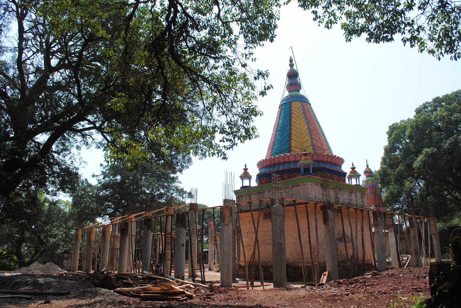 |
| Ghataai Devi Temple |
Odometer readings:
Narayan Peth (Pune): 0 kms
Kaas Plateau Check Post: 139 kms
Kaas Lake: 142 kms
Ghatai Devi Temple: 149 kms
Narayan Peth: 290 kms